 Open Street Map
 Satellite
 Topographic map
 Shaded relief
 Tourist map
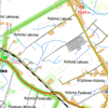
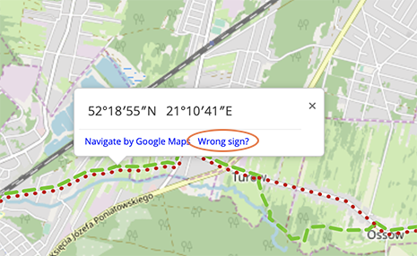
If you know about the place where the trail is incorrectly marked, click it on the map with the right button and select the option "Wrong sign?"
Skopiuj do schowka poniższy adres
Zachowaj go i wklej (Ctrl+V) w przeglądarce, aby ponownie wczytać wycieczkę
Enter the following code in the PTTK Dolnośląskie mobile app and get on the road!
gbopoa


 Polski
 Deutsch