Polski
Deutsch
a
a
a
a
Trails of Lower Silesia
Toggle navigation
start
trails
places
map
mobile app
Szczawno-Zdrój – historia
Terrain points
/
Miasto
Szczawno
50°48'14"N
16°15'15"E
(50.80412, 16.254264)
416 m n. p. m.
Calculate the route
See map
This place is on following trails
CHEŁMIEC - SZCZAWNO-ZDRÓJ
10,5 km
4:00 h
Dol. Czyżynki - Bystrzyca Górna, PKS
39,8 km
13:45 h
Międzynarodowy Szlak Długodystansowy E-3
Mianka - Zamek Grodno
38,9 km
16:15 h
SZCZAWNO-ZDRÓJ - Bolków, PKS
29,1 km
10:30 h
Get the app
Our website uses cookies, incl. for statistical purposes. If you do not want them to be saved on your hard drive, change your browser settings.
More on this...
I accept cookies from this website


 Polski
 Deutsch
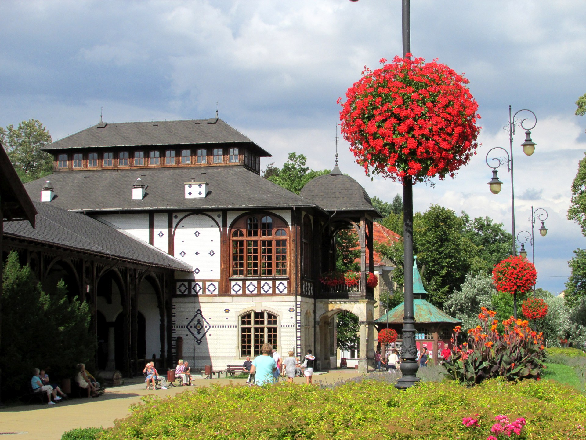